Workshop on GNSS Geodetic Polygon and the role of GNSS in Precision Agriculture at Kabul University in Afghanistan
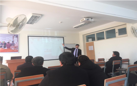
On 26th of January, 2019 Saiyed Momin Nori conducted a presentation about GNSS Geodetic Polygon in territory of Nazarbayev University and role of GNSS in Precision Agriculture at Kabul University in Afghanistan. 30 Professors and researchers from Agriculture faculty of Kabul university participated in this workshop. During the Presentation, the important role of GNSS and Remote Sensing at different fields of research, mainly in precision agriculture and smart farming were discussed. Furthermore, He explained the current and potential capacity of Geomatics and Environmental Geosciences Laboratory of Nazarbayev University and the instruments which it has and how Universities in both countries can cooperate in search activities in Water, Agricultural, and environmental sectors. In addition, some of the most important usage of GNSS and Remote Sensing in Precision Agriculture which are listed below are explained to participants:
• Yield monitoring
• Compaction profile sensing
• Tree planting site-specific fumigant application
• RTK GPS based plant mapping
• Precise weed management system
• Robotic applications
• Soil sampling
• Tillage
• Drilling
• Variable Rate Applications: Fertilizing,
• Spraying